
Barkan topographic map
Interactive map
Click on the map to display elevation.
About this map
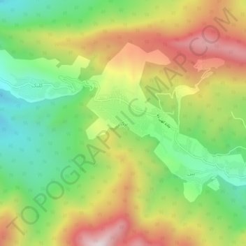
Name: Barkan topographic map, elevation, terrain.
Average elevation: 1,834 m
Minimum elevation: 1,453 m
Maximum elevation: 2,312 m
Other topographic maps
Click on a map to view its topography, its elevation and its terrain.
Kojur
Iran > Mazandaran Province > Nowshahr County > دهستان توابع کجور
Kojur, دهستان توابع کجور, بخش کجور, Nowshahr County, Mazandaran Province, Iran
Average elevation: 1,735 m