
Kanto topographic map
Click on the map to display elevation.
Kanto
The surface geology of the Kantō Plain is the Quaternary alluvium and diluvium. The low mountain vegetation at an altitude of about 500 to 900 m in and around the plain is an evergreen broad-leaved forest zone. The distribution height range of laurel forests is 900 m in Hakone, about 800 m in Tanzawa and Takao, about 700 m in Okutama, Oku Musashi and Oku Chichibu, about 600 m in Nishijoshu, Akagiyama, Ashio Mountains and Tsukuba Mountains and about 500 m in Kitage and Nasu Mountains.
About this map
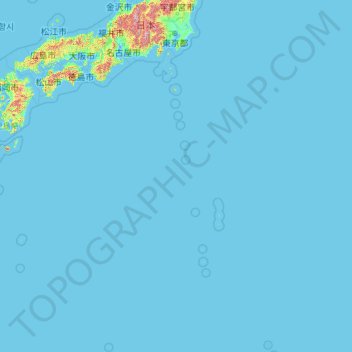
Name: Kanto topographic map, elevation, terrain.
Location: Kanto, Japan (20.21458 135.85369 37.15506 154.20554)
Average elevation: 29 m
Minimum elevation: -2 m
Maximum elevation: 2,894 m
Other topographic maps
Click on a map to view its topography, its elevation and its terrain.