
Thank you for supporting this site ❤️
Make a donation
Make a donation
Palampur topographic map
Click on the map to display elevation.
Thank you for supporting this site ❤️
Make a donation
Make a donation
About this map
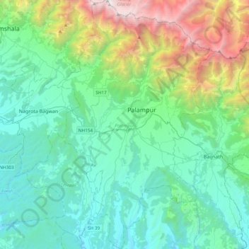
Name: Palampur topographic map, elevation, terrain.
Location: Palampur, Kangra District, Himachal Pradesh, India (31.92933 76.40704 32.25083 76.65217)
Average elevation: 1,520 m
Minimum elevation: 604 m
Maximum elevation: 4,901 m
Thank you for supporting this site ❤️
Make a donation
Make a donation