
Ahi topographic map
Interactive map
Click on the map to display elevation.
About this map
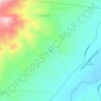
Name: Ahi topographic map, elevation, terrain.
Location: Ahi, Divriği, Sivas, Zentralanatolien, Türkei (39.31568 38.05214 39.35568 38.09214)
Average elevation: 1,200 m
Minimum elevation: 1,040 m
Maximum elevation: 1,620 m