
Thank you for supporting this site ❤️
Make a donation
Make a donation
Xia topographic map
Click on the map to display elevation.
Thank you for supporting this site ❤️
Make a donation
Make a donation
About this map
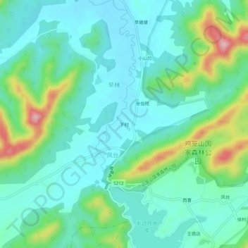
Name: Xia topographic map, elevation, terrain.
Location: Xia, Shanhou, He County, Ma'anshan, Anhui, 238200, China (31.80798 118.15589 31.84798 118.19589)
Average elevation: 69 m
Minimum elevation: 22 m
Maximum elevation: 212 m
Thank you for supporting this site ❤️
Make a donation
Make a donation