
Thank you for supporting this site ❤️
Make a donation
Make a donation
Kepatihan topographic map
Click on the map to display elevation.
Thank you for supporting this site ❤️
Make a donation
Make a donation
About this map
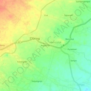
Name: Kepatihan topographic map, elevation, terrain.
Location: Kepatihan, Cluring, Banyuwangi, Java, 68482, Indonesia (-8.45347 114.19937 -8.41347 114.23937)
Average elevation: 78 m
Minimum elevation: 55 m
Maximum elevation: 101 m
Thank you for supporting this site ❤️
Make a donation
Make a donation