
Pulaski topographic map
Click on the map to display elevation.
About this map
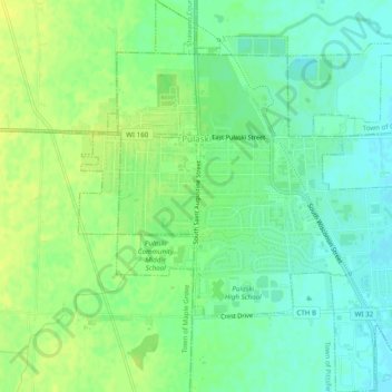
Name: Pulaski topographic map, elevation, terrain.
Location: Pulaski, Brown County, Wisconsin, United States (44.64983 -88.25729 44.68443 -88.21536)
Average elevation: 246 m
Minimum elevation: 237 m
Maximum elevation: 254 m
Other topographic maps
Click on a map to view its topography, its elevation and its terrain.