
Kavimba topographic map
Interactive map
Click on the map to display elevation.
About this map
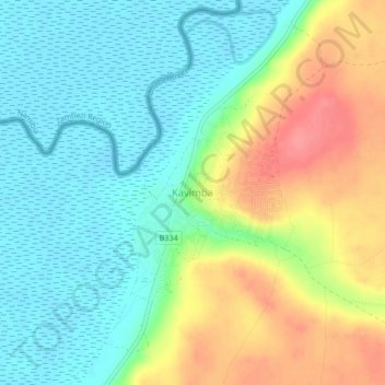
Name: Kavimba topographic map, elevation, terrain.
Location: Kavimba, Chobe District, Botsuana (-18.09579 24.56280 -18.05579 24.60280)
Average elevation: 955 m
Minimum elevation: 926 m
Maximum elevation: 1,005 m