
Thelon River topographic map
Interactive map
Click on the map to display elevation.
About this map
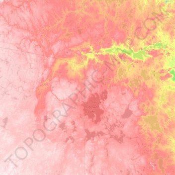
Name: Thelon River topographic map, elevation, terrain.
Location: Thelon River, Nunavut, Kanada (62.41935 -106.82191 64.78779 -96.23144)
Average elevation: 262 m
Minimum elevation: 47 m
Maximum elevation: 493 m
Other topographic maps
Click on a map to view its topography, its elevation and its terrain.