
Thank you for supporting this site ❤️
Make a donation
Make a donation
Kauman topographic map
Click on the map to display elevation.
Thank you for supporting this site ❤️
Make a donation
Make a donation
About this map
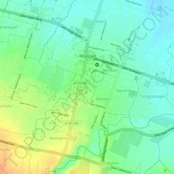
Name: Kauman topographic map, elevation, terrain.
Location: Kauman, Mojokerto, East Java, Java, Indonesia (-7.52540 112.55476 -7.52026 112.55949)
Average elevation: 32 m
Minimum elevation: 16 m
Maximum elevation: 55 m
Thank you for supporting this site ❤️
Make a donation
Make a donation