
Thank you for supporting this site ❤️
Make a donation
Make a donation
Castel Castagna topographic map
Click on the map to display elevation.
Thank you for supporting this site ❤️
Make a donation
Make a donation
About this map
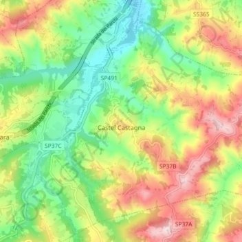
Name: Castel Castagna topographic map, elevation, terrain.
Location: Castel Castagna, Teramo, Abruzzo, Italy (42.52228 13.69530 42.56644 13.76702)
Average elevation: 376 m
Minimum elevation: 208 m
Maximum elevation: 605 m
Thank you for supporting this site ❤️
Make a donation
Make a donation
Other topographic maps
Click on a map to view its topography, its elevation and its terrain.
Thank you for supporting this site ❤️
Make a donation
Make a donation
Thank you for supporting this site ❤️
Make a donation
Make a donation