
Thank you for supporting this site ❤️
Make a donation
Make a donation
Al Haram topographic map
Click on the map to display elevation.
Thank you for supporting this site ❤️
Make a donation
Make a donation
About this map
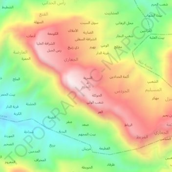
Name: Al Haram topographic map, elevation, terrain.
Location: Al Haram, Al Udayn District, Ibb Governorate, Yemen (13.91507 44.04609 13.95507 44.08609)
Average elevation: 1,765 m
Minimum elevation: 1,370 m
Maximum elevation: 2,192 m
Thank you for supporting this site ❤️
Make a donation
Make a donation