
Thank you for supporting this site ❤️
Make a donation
Make a donation
Lingrell Lake topographic map
Click on the map to display elevation.
Thank you for supporting this site ❤️
Make a donation
Make a donation
About this map
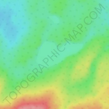
Name: Lingrell Lake topographic map, elevation, terrain.
Location: Lingrell Lake, Division No. 18, Alberta, Canada (54.72682 -119.83194 54.73329 -119.81183)
Average elevation: 991 m
Minimum elevation: 957 m
Maximum elevation: 1,053 m
Thank you for supporting this site ❤️
Make a donation
Make a donation
Other topographic maps
Click on a map to view its topography, its elevation and its terrain.