
Hedingen topographic map
Interactive map
Click on the map to display elevation.
About this map
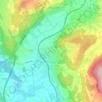
Name: Hedingen topographic map, elevation, terrain.
Location: Hedingen, Bezirk Affoltern, Zurich, 8908, Suisse (47.28893 8.42854 47.31583 8.48276)
Average elevation: 559 m
Minimum elevation: 458 m
Maximum elevation: 747 m