
Thank you for supporting this site ❤️
Make a donation
Make a donation
Glasford topographic map
Click on the map to display elevation.
Thank you for supporting this site ❤️
Make a donation
Make a donation
About this map
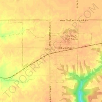
Name: Glasford topographic map, elevation, terrain.
Location: Glasford, Peoria County, Illinois, United States (40.56376 -89.82828 40.58028 -89.79933)
Average elevation: 186 m
Minimum elevation: 155 m
Maximum elevation: 193 m
Thank you for supporting this site ❤️
Make a donation
Make a donation
Other topographic maps
Click on a map to view its topography, its elevation and its terrain.