
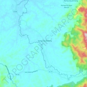
Sungai Sedim topographic map
Interactive map
Click on the map to display elevation.
About this map
Name: Sungai Sedim topographic map, elevation, terrain.
Location: Sungai Sedim, Kampung Badang, Baling, Kedah, 09700, Malaysia (5.40095 100.69792 5.48516 100.79887)
Average elevation: 81 m
Minimum elevation: 17 m
Maximum elevation: 533 m