
Thank you for supporting this site ❤️
Make a donation
Make a donation
Drake's Island topographic map
Click on the map to display elevation.
Thank you for supporting this site ❤️
Make a donation
Make a donation
About this map
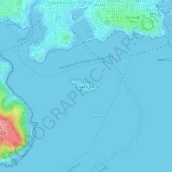
Name: Drake's Island topographic map, elevation, terrain.
Location: Drake's Island, Plymouth, England, United Kingdom (50.35453 -4.15544 50.35611 -4.15135)
Average elevation: 6 m
Minimum elevation: -1 m
Maximum elevation: 110 m
Thank you for supporting this site ❤️
Make a donation
Make a donation