
Sticki topographic map
Interactive map
Click on the map to display elevation.
About this map
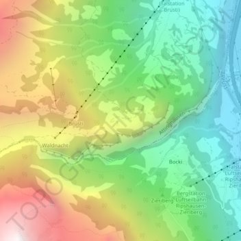
Name: Sticki topographic map, elevation, terrain.
Location: Sticki, Attinghausen, Uri, 6468, Suisse (46.83240 8.60435 46.85240 8.62435)
Average elevation: 1,139 m
Minimum elevation: 441 m
Maximum elevation: 2,196 m