
Châtelard topographic map
Interactive map
Click on the map to display elevation.
About this map
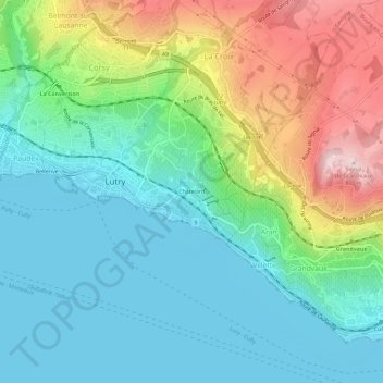
Name: Châtelard topographic map, elevation, terrain.
Location: Châtelard, Lutry, District de Lavaux-Oron, Vaud, 1095, Suisse (46.48219 6.67840 46.52219 6.71840)
Average elevation: 498 m
Minimum elevation: 369 m
Maximum elevation: 802 m