
Thank you for supporting this site ❤️
Make a donation
Make a donation
Ortaova topographic map
Click on the map to display elevation.
Thank you for supporting this site ❤️
Make a donation
Make a donation
About this map
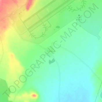
Name: Ortaova topographic map, elevation, terrain.
Location: Ortaova, Merzifon, Amasya, Black Sea Region, Turkey (40.79329 35.50000 40.83329 35.54000)
Average elevation: 532 m
Minimum elevation: 506 m
Maximum elevation: 577 m
Thank you for supporting this site ❤️
Make a donation
Make a donation