
Krusau topographic map
Interactive map
Click on the map to display elevation.
About this map
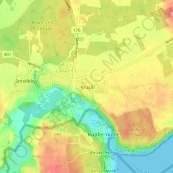
Name: Krusau topographic map, elevation, terrain.
Location: Krusau, Kommune Apenrade, Region Süddänemark, 6340, Dänemark (54.82793 9.38756 54.86793 9.42756)
Average elevation: 32 m
Minimum elevation: -2 m
Maximum elevation: 63 m