
Flacourt topographic map
Interactive map
Click on the map to display elevation.
About this map
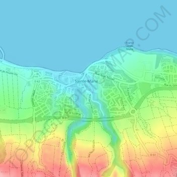
Name: Flacourt topographic map, elevation, terrain.
Average elevation: 40 m
Minimum elevation: 0 m
Maximum elevation: 128 m
Other topographic maps
Click on a map to view its topography, its elevation and its terrain.
Terrain Elisa
France > La Réunion > Sainte-Marie
Terrain Elisa, Sainte-Marie, Saint-Denis, La Réunion, 97438, France
Average elevation: 221 m