
Thank you for supporting this site ❤️
Make a donation
Make a donation
Ahievren topographic map
Click on the map to display elevation.
Thank you for supporting this site ❤️
Make a donation
Make a donation
About this map
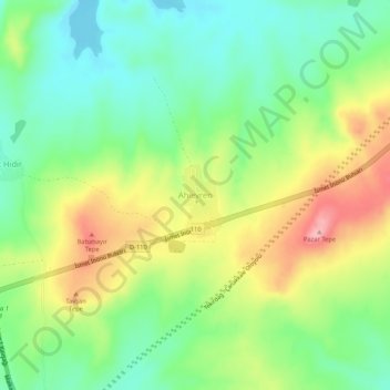
Name: Ahievren topographic map, elevation, terrain.
Location: Ahievren, Malkara, Tekirdağ, Marmara Region, Turkey (40.86338 27.05089 40.90338 27.09089)
Average elevation: 182 m
Minimum elevation: 123 m
Maximum elevation: 272 m
Thank you for supporting this site ❤️
Make a donation
Make a donation