
Thank you for supporting this site ❤️
Make a donation
Make a donation
Kadaba topographic map
Click on the map to display elevation.
Thank you for supporting this site ❤️
Make a donation
Make a donation
About this map
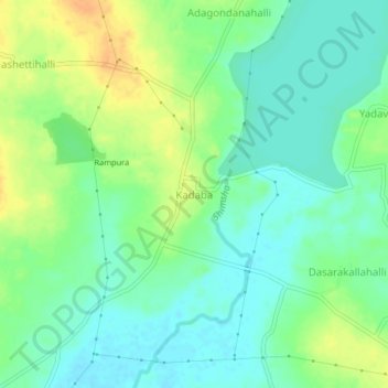
Name: Kadaba topographic map, elevation, terrain.
Location: Kadaba, Gubbi taluk, Tumakuru, Karnataka, 572221, India (13.22109 76.84256 13.26109 76.88256)
Average elevation: 770 m
Minimum elevation: 757 m
Maximum elevation: 789 m
Thank you for supporting this site ❤️
Make a donation
Make a donation