
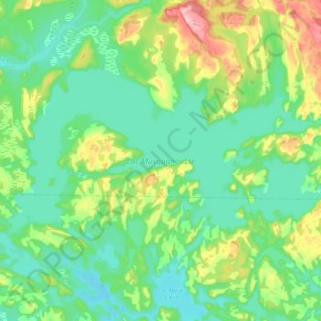
Lac Musquanousse topographic map
Interactive map
Click on the map to display elevation.
About this map
Name: Lac Musquanousse topographic map, elevation, terrain.
Average elevation: 67 m
Minimum elevation: 24 m
Maximum elevation: 178 m
Other topographic maps
Click on a map to view its topography, its elevation and its terrain.
Lac Boucher
Canada > Québec > Petit-Mécatina
Lac Boucher, Petit-Mécatina, Le Golfe-du-Saint-Laurent, Côte-Nord, Québec, Canada
Average elevation: 219 m