
The Valleys topographic map
Interactive map
Click on the map to display elevation.
About this map
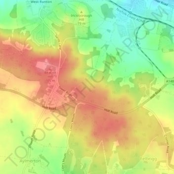
Name: The Valleys topographic map, elevation, terrain.
Average elevation: 67 m
Minimum elevation: 22 m
Maximum elevation: 105 m
Other topographic maps
Click on a map to view its topography, its elevation and its terrain.
Southrepps
United Kingdom > England > North Norfolk > Southrepps
Southrepps, North Norfolk, Norfolk, East of England, England, NR11 8UU, United Kingdom
Average elevation: 42 m