
Thank you for supporting this site ❤️
Make a donation
Make a donation
Tikri Khurd topographic map
Click on the map to display elevation.
Thank you for supporting this site ❤️
Make a donation
Make a donation
About this map
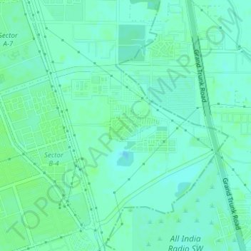
Name: Tikri Khurd topographic map, elevation, terrain.
Location: Tikri Khurd, Narela Tehsil, North Delhi District, Delhi, India (28.83371 77.11638 28.83715 77.12259)
Average elevation: 212 m
Minimum elevation: 208 m
Maximum elevation: 215 m
Thank you for supporting this site ❤️
Make a donation
Make a donation
Other topographic maps
Click on a map to view its topography, its elevation and its terrain.