Lac de Walenstadt topographic map
Interactive map
Click on the map to display elevation.
About this map
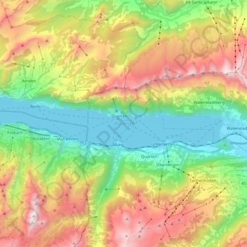
Name: Lac de Walenstadt topographic map, elevation, terrain.
Average elevation: 1,218 m
Minimum elevation: 416 m
Maximum elevation: 2,396 m

Click on the map to display elevation.
Name: Lac de Walenstadt topographic map, elevation, terrain.
Average elevation: 1,218 m
Minimum elevation: 416 m
Maximum elevation: 2,396 m