
Thank you for supporting this site ❤️
Make a donation
Make a donation
DeSoto Falls topographic map
Click on the map to display elevation.
Thank you for supporting this site ❤️
Make a donation
Make a donation
About this map
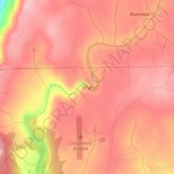
Name: DeSoto Falls topographic map, elevation, terrain.
Location: DeSoto Falls, DeKalb County, Alabama, 35984, United States (34.54871 -85.59078 34.54881 -85.59068)
Average elevation: 505 m
Minimum elevation: 382 m
Maximum elevation: 539 m
Thank you for supporting this site ❤️
Make a donation
Make a donation