
Thank you for supporting this site ❤️
Make a donation
Make a donation
Molsberg topographic map
Click on the map to display elevation.
Thank you for supporting this site ❤️
Make a donation
Make a donation
About this map
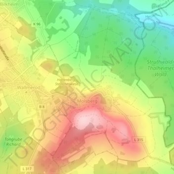
Name: Molsberg topographic map, elevation, terrain.
Location: Molsberg, Wallmerod, Westerwaldkreis, Rijnland-Palts, Duitsland (50.47162 7.95867 50.49672 7.98891)
Average elevation: 301 m
Minimum elevation: 191 m
Maximum elevation: 411 m
Thank you for supporting this site ❤️
Make a donation
Make a donation