
Sendas topographic map
Interactive map
Click on the map to display elevation.
About this map
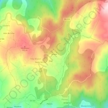
Name: Sendas topographic map, elevation, terrain.
Average elevation: 452 m
Minimum elevation: 281 m
Maximum elevation: 604 m
Other topographic maps
Click on a map to view its topography, its elevation and its terrain.
Goja
Portugal > Viseu > São Pedro do Sul > Vila Maior
Goja, Vila Maior, São Pedro do Sul, Viseu, 3660-306, Portugal
Average elevation: 443 m