
Harissenbucht topographic map
Interactive map
Click on the map to display elevation.
About this map
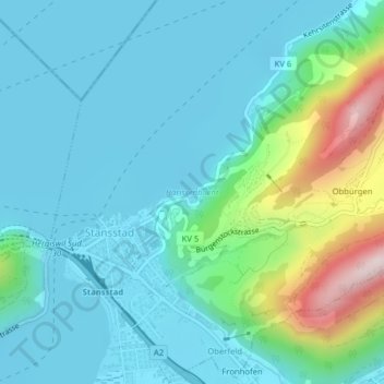
Name: Harissenbucht topographic map, elevation, terrain.
Location: Harissenbucht, Stansstad, Nidwalden, 6362, Schweiz (46.98252 8.34582 46.98262 8.34592)
Average elevation: 533 m
Minimum elevation: 428 m
Maximum elevation: 974 m