
Au topographic map
Interactive map
Click on the map to display elevation.
About this map
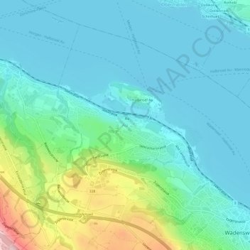
Name: Au topographic map, elevation, terrain.
Location: Au, Wädenswil, Bezirk Horgen, Zürich, 8820, Schweiz (47.22513 8.62336 47.26513 8.66336)
Average elevation: 458 m
Minimum elevation: 400 m
Maximum elevation: 674 m
Other topographic maps
Click on a map to view its topography, its elevation and its terrain.