
Thank you for supporting this site ❤️
Make a donation
Make a donation
Keene Township topographic map
Click on the map to display elevation.
Thank you for supporting this site ❤️
Make a donation
Make a donation
About this map
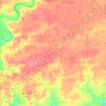
Name: Keene Township topographic map, elevation, terrain.
Location: Keene Township, Ionia County, Michigan, United States (42.94393 -85.31236 43.03202 -85.19352)
Average elevation: 250 m
Minimum elevation: 192 m
Maximum elevation: 274 m
Thank you for supporting this site ❤️
Make a donation
Make a donation