
Thank you for supporting this site ❤️
Make a donation
Make a donation
San Rafael topographic map
Click on the map to display elevation.
Thank you for supporting this site ❤️
Make a donation
Make a donation
About this map
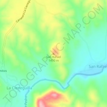
Name: San Rafael topographic map, elevation, terrain.
Location: San Rafael, Satevó, Chihuahua, Mexiko (27.89668 -106.19077 27.89678 -106.19067)
Average elevation: 1,438 m
Minimum elevation: 1,383 m
Maximum elevation: 1,536 m
Thank you for supporting this site ❤️
Make a donation
Make a donation