
Make a donation
Mongla topographic map
Click on the map to display elevation.
Make a donation
About this map
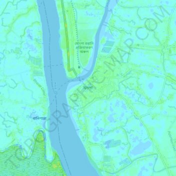
Name: Mongla topographic map, elevation, terrain.
Location: Mongla, Bagerhat District, Khulna Division, 9350, Bangladesh (22.42792 89.56401 22.50792 89.64401)
Average elevation: 2 m
Minimum elevation: -2 m
Maximum elevation: 11 m
Make a donation
Other topographic maps
Click on a map to view its topography, its elevation and its terrain.
Make a donation
Khulna District
Khulna district is comprised mostly of flat plains. The northernmost part of the district, north of Khulna town, comprises deltaic silt deposits and is relatively elevated compared to the rest of the district. The central part of the district is relatively lower in elevation and comprises tidal deltaic…
Average elevation: 3 m
Make a donation
Make a donation
Make a donation
Make a donation
Make a donation
Make a donation