
Thank you for supporting this site ❤️
Make a donation
Make a donation
Rafel topographic map
Click on the map to display elevation.
Thank you for supporting this site ❤️
Make a donation
Make a donation
About this map
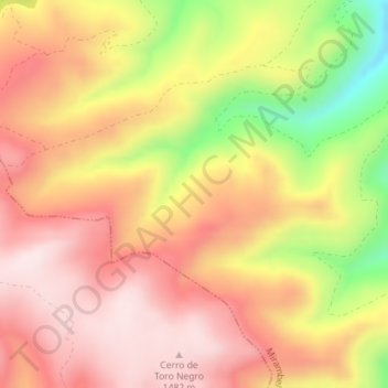
Name: Rafel topographic map, elevation, terrain.
Location: Rafel, Mirambel, Maestrazgo, Teruel, Aragón, España (40.56011 -0.40667 40.58011 -0.38667)
Average elevation: 1,329 m
Minimum elevation: 1,065 m
Maximum elevation: 1,487 m
Thank you for supporting this site ❤️
Make a donation
Make a donation