
Thank you for supporting this site ❤️
Make a donation
Make a donation
Gunung Jasar topographic map
Click on the map to display elevation.
Thank you for supporting this site ❤️
Make a donation
Make a donation
About this map
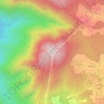
Name: Gunung Jasar topographic map, elevation, terrain.
Location: Gunung Jasar, Cameron Highlands, Pahang, 39000, Malaysia (4.47813 101.36091 4.47823 101.36101)
Average elevation: 1,388 m
Minimum elevation: 978 m
Maximum elevation: 1,673 m
Thank you for supporting this site ❤️
Make a donation
Make a donation