
Thank you for supporting this site ❤️
Make a donation
Make a donation
Leoville topographic map
Click on the map to display elevation.
Thank you for supporting this site ❤️
Make a donation
Make a donation
About this map
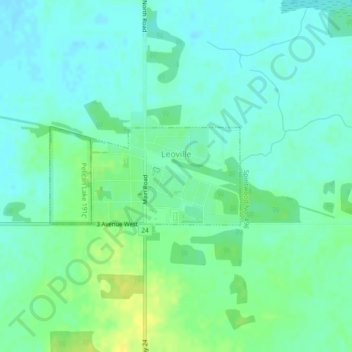
Name: Leoville topographic map, elevation, terrain.
Location: Leoville, Division No. 16, Saskatchewan, S0J 1N0, Canada (53.62787 -107.56112 53.63539 -107.54171)
Average elevation: 599 m
Minimum elevation: 592 m
Maximum elevation: 612 m
Thank you for supporting this site ❤️
Make a donation
Make a donation
Other topographic maps
Click on a map to view its topography, its elevation and its terrain.