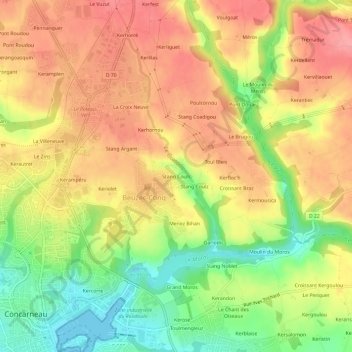
Click on the map to display elevation.
Name: Stang Couls topographic map, elevation, terrain.
Location: Stang Couls, Concarneau, Quimper, Finistère, Bretagne, France métropolitaine, 29900, France (47.87134 -3.91686 47.91134 -3.87686)
Average elevation: 53 m
Minimum elevation: 0 m
Maximum elevation: 92 m
Click on a map to view its topography, its elevation and its terrain.
France > Bretagne > Finistère > Concarneau > La Villeneuve
Average elevation: 64 m
France > Bretagne > Finistère > Concarneau > Kercorre
Average elevation: 13 m
France > Bretagne > Finistère > Concarneau > Keriolet
Average elevation: 45 m