
Samrée topographic map
Interactive map
Click on the map to display elevation.
About this map
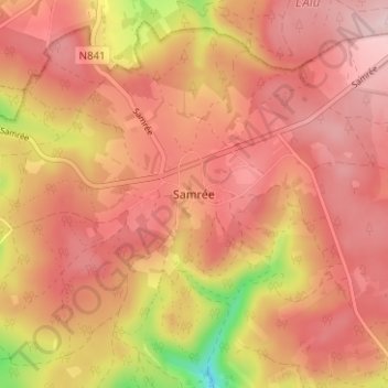
Name: Samrée topographic map, elevation, terrain.
Location: Samrée, Luxembourg, Wallonie, 6982, Belgique (50.18926 5.61948 50.22926 5.65948)
Average elevation: 528 m
Minimum elevation: 360 m
Maximum elevation: 605 m