
Wolfcale topographic map
Click on the map to display elevation.
About this map
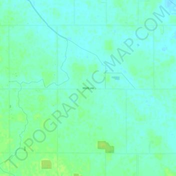
Name: Wolfcale topographic map, elevation, terrain.
Location: Wolfcale, Van Wert County, Ohio, United States (40.86810 -84.78079 40.90810 -84.74079)
Average elevation: 245 m
Minimum elevation: 240 m
Maximum elevation: 254 m
Other topographic maps
Click on a map to view its topography, its elevation and its terrain.