
Cerro Azul topographic map
Interactive map
Click on the map to display elevation.
About this map
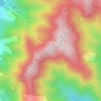
Name: Cerro Azul topographic map, elevation, terrain.
Location: Cerro Azul, Jaramillo, Distrito Boquete, Chiriquí, Panamá (8.79886 -82.38090 8.79896 -82.38080)
Average elevation: 2,052 m
Minimum elevation: 1,694 m
Maximum elevation: 2,295 m