
Thank you for supporting this site ❤️
Make a donation
Make a donation
Hill 'n Dale topographic map
Click on the map to display elevation.
Thank you for supporting this site ❤️
Make a donation
Make a donation
About this map
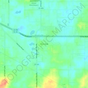
Name: Hill 'n Dale topographic map, elevation, terrain.
Location: Hill 'n Dale, Hernando County, Florida, 34602, United States (28.49972 -82.31926 28.53972 -82.27926)
Average elevation: 30 m
Minimum elevation: 15 m
Maximum elevation: 71 m
Thank you for supporting this site ❤️
Make a donation
Make a donation
Other topographic maps
Click on a map to view its topography, its elevation and its terrain.