
Gemeinde Tannheim topographic map
Interactive map
Click on the map to display elevation.
About this map
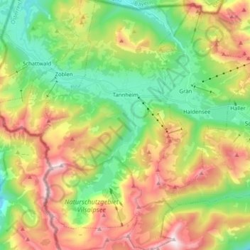
Name: Gemeinde Tannheim topographic map, elevation, terrain.
Location: Gemeinde Tannheim, Bezirk Reutte, Tirol, 6675, Oostenrijk (47.43404 10.46343 47.53910 10.55432)
Average elevation: 1,465 m
Minimum elevation: 893 m
Maximum elevation: 2,242 m