
Thank you for supporting this site ❤️
Make a donation
Make a donation
Pedregal topographic map
Click on the map to display elevation.
Thank you for supporting this site ❤️
Make a donation
Make a donation
About this map
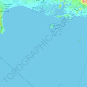
Name: Pedregal topographic map, elevation, terrain.
Location: Pedregal, Distrito David, Chiriquí, Panamá (7.46329 -82.46537 8.39363 -82.23070)
Average elevation: 4 m
Minimum elevation: -1 m
Maximum elevation: 517 m
Thank you for supporting this site ❤️
Make a donation
Make a donation
Other topographic maps
Click on a map to view its topography, its elevation and its terrain.