
Modar topographic map
Interactive map
Click on the map to display elevation.
About this map
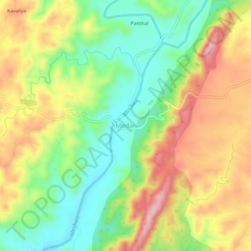
Name: Modar topographic map, elevation, terrain.
Location: Modar, Bichiwara Tehsil, Dungarpur District, Rajasthan, Inde (23.78484 73.43913 23.82484 73.47913)
Average elevation: 320 m
Minimum elevation: 231 m
Maximum elevation: 424 m