
Thank you for supporting this site ❤️
Make a donation
Make a donation
Oostburg topographic map
Click on the map to display elevation.
Thank you for supporting this site ❤️
Make a donation
Make a donation
About this map
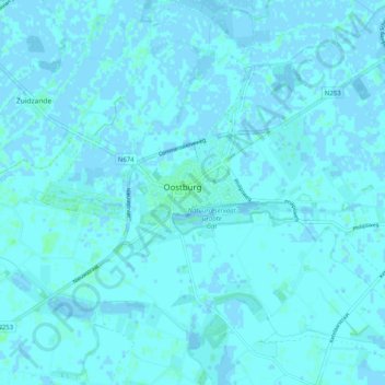
Name: Oostburg topographic map, elevation, terrain.
Location: Oostburg, Sluis, Zeeland, Nederland (51.29686 3.42079 51.35569 3.52142)
Average elevation: 1 m
Minimum elevation: -3 m
Maximum elevation: 5 m
Thank you for supporting this site ❤️
Make a donation
Make a donation