
Thank you for supporting this site ❤️
Make a donation
Make a donation
Charleston East topographic map
Click on the map to display elevation.
Thank you for supporting this site ❤️
Make a donation
Make a donation
About this map
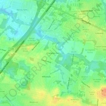
Name: Charleston East topographic map, elevation, terrain.
Average elevation: 23 m
Minimum elevation: 7 m
Maximum elevation: 47 m
Thank you for supporting this site ❤️
Make a donation
Make a donation
Other topographic maps
Click on a map to view its topography, its elevation and its terrain.
Barclay-Kingston
United States > New Jersey > Camden County > Cherry Hill Township
Average elevation: 18 m
Golden Triangle
United States > New Jersey > Camden County > Cherry Hill Township
Average elevation: 13 m