
Shoeburyness topographic map
Click on the map to display elevation.
About this map
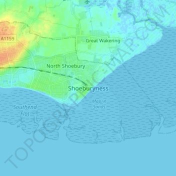
Name: Shoeburyness topographic map, elevation, terrain.
Average elevation: 3 m
Minimum elevation: -2 m
Maximum elevation: 30 m
Other topographic maps
Click on a map to view its topography, its elevation and its terrain.
Leigh-on-Sea
United Kingdom > England > Essex > Southend-on-Sea > Leigh on Sea
Average elevation: 22 m